Back to Home
Flood Risk Checker
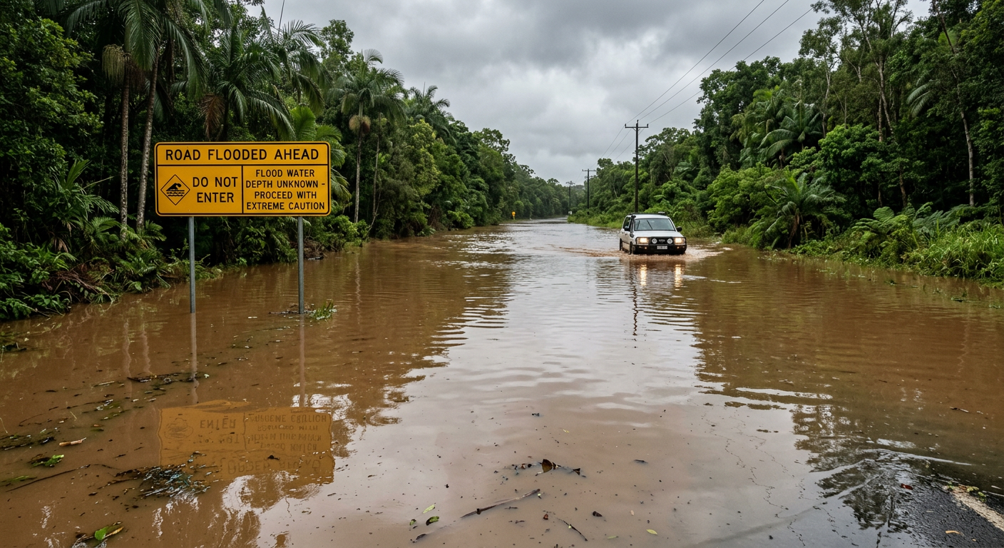
Check flood risk for any location in Mareeba Shire
Interactive Flood Risk Map
Click anywhere on the map to check flood risk. The blue line shows the Barron River path through Mareeba.
Emergency Contacts
Emergency
000
SES (Storm/Flood)
132 500
Disclaimer: This tool provides general flood risk assessment based on elevation and proximity to the Barron River. It should not be used as the sole basis for property decisions or emergency planning. Always consult official flood maps and local authorities for accurate, up-to-date flood risk information.